The geography of future water challenges
This publication shows that, without improved water management or adaptation to climate change, the global sustainability goals cannot be achieved. The report highlights the urgent need for an integrated approach to limiting climate- and water-related risks. Using maps and infographics, The geography of future water challenges shows the water-related challenges of tomorrow, under a business-as-usual scenario.
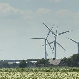
Water is inextricably linked to sustainable developments and quality of life. The themes presented are food production, water quality and human health, flood risk, energy, ecological quality, and the interaction between water and migration and possible conflict risks. Water-related challenges are shown to be increasing, over the coming decades, due to a combination of population growth, economic development and climate change.
The report shows the urgent need for a coherent approach on a scale that is sufficiently large to cover the various problems and underlines the importance of collaboration between public parties to initiate solutions. The global landscapes in the search for integrated solutions will be the dryland regions, cities, transboundary river basins, coastal zones and deltas.
Preview: 5 maps and infographics
Below, we provide 5 examples from the book. For additional maps and infographics we refer you to the publication.
Please click on the images for more information and references.
This publication was commissioned by the Ministry of Infrastructure and Water Management, Ministry of Foreign Affairs and Ministry of Economic Affairs and Climate, in the context of the Dutch International Water Ambition. The publication was created in collaboration with Deltares, Utrecht University, Wageningen University and Research, VU University Amsterdam, IHE Delft Institute for Water Education, Clingendael Institute and Blueland.
Authors
Specifications
- Publication title
- The geography of future water challenges
- Publication date
- 19 April 2018
- Publication type
- Publication
- Publication language
- English
- Product number
- 2920
Related

Electricity- and hydrogen-driven energy system sector-coupling in net-zero CO2 emission pathways

Policy mixes for sustainable development pathways: representation in integrated assessment models